Key Points
- A new Department for Transport map rates England’s local highway authorities on road maintenance using a traffic-light system: green for best, amber for mixed, and red for worst performers.
- Thirteen councils received red ratings, including several London boroughs such as Greenwich, Kensington and Chelsea, and Waltham Forest, highlighting poor road conditions, insufficient spending, or failure to follow best practices.
- Red-rated councils will receive £300,000 in dedicated support to improve planning and capabilities.
- The government has committed £7.3 billion for local road maintenance over four years to 2029/30.
- Most councils are rated amber, while green-rated areas like Essex and Wiltshire demonstrate long-term preventative measures.
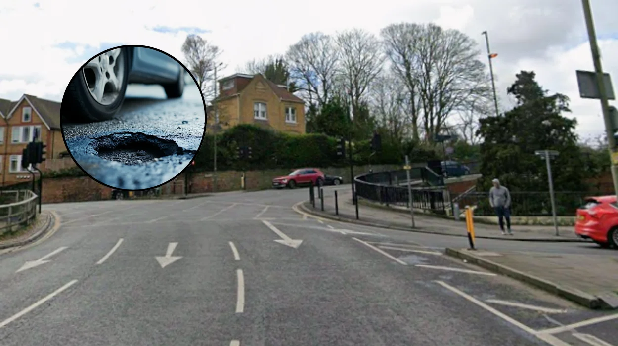
London (West London News) January 12, 2026 – A groundbreaking pothole map released by the Department for Transport has exposed the worst-maintained roads across England, with eight London boroughs and councils named in the red zone for failing to meet basic standards.
The interactive tool rates 154 local highway authorities based on current road conditions, maintenance spending levels, and adherence to best practices like efficient pothole prevention technologies. London boroughs including Greenwich, Kensington and Chelsea, and Waltham Forest feature prominently among the 13 red-rated authorities, prompting calls for urgent action from drivers and motoring groups.
Which London councils have been rated worst for pothole repairs?
The Department for Transport’s new ratings system, published on January 11, classifies councils using official statistics and transparency reports from each authority. Red ratings indicate failure in at least one key area: poor road conditions, low investment, or ineffective practices. According to ITV News reporting, red-rated councils include Kensington and Chelsea in west London, alongside Greenwich and Waltham Forest.
Auto Express detailed the full list of 13 red authorities: Bedford, Bolton, Cumberland, Derbyshire, Greenwich, Kensington and Chelsea, Leicestershire, North Lincolnshire, Slough, Suffolk, Waltham Forest, Westmorland and Furness, and West Northamptonshire. The majority of England’s councils fall into the amber category, showing mixed performance, while green-rated performers like Essex, Wiltshire, Coventry, Leeds, and Darlington excel in preventative maintenance.
As reported by Sky News, the map provides drivers with a clear view of local road quality, with London areas standing out for consistent red classifications under the system.
What support is available for poorly performing councils?
Red-rated authorities face mandatory intervention, with the DfT allocating £300,000 per council for specialised support in planning and capability building. This funding aims to align them with best practices, such as adopting technologies for pothole prevention rather than reactive patching.
The government’s broader £7.3 billion commitment over four years to 2029/30 underpins the initiative, as outlined in last year’s budget. Sky News noted that this investment seeks to address long-standing issues, with RAC policy head Simon Williams welcoming the move but stressing the need for consistency nationwide.
How are the ratings calculated?
Ratings draw from three scorecards covering road condition, spending, and best practice adoption, using data from official statistics and councils’ published transparency reports. The GOV.UK publication explains that green ratings go to authorities with strong conditions, high investment, and efficient methods, while red signals consistent weaknesses. Notes highlight data incompleteness affecting some ratings, such as for Barking and Dagenham.
Why are London boroughs struggling with road maintenance?
London’s red-rated boroughs reflect broader challenges, including financial pressures and data discrepancies cited by some councils. Waltham Forest leader Clyde Loakes told Metro the assessment was hard to comprehend, emphasising their pride in highway investments for all road users. Bolton and Suffolk similarly attributed issues to data errors or budget constraints.
Motoring organisations estimate pothole damage costs drivers £590 on average for family car repairs beyond punctures. British Cycling’s Caroline Julian praised the map for giving cyclists insight into council performance on daily routes, as covered by ITV News.
What do politicians and experts say about the pothole crisis?
Transport Secretary Heidi Alexander addressed the findings, with the DfT stressing dedicated support for red councils. Shadow transport secretary Richard Holden criticised the map as insufficient, telling Sky News: “A map won’t stop tyres blowing or suspensions snapping. Motorists, already being squeezed tight by Labour, deserve real action to back them.”
Local Government Association’s Tom Hunt highlighted a £17 billion national repair backlog, urging long-term funding for preventative schemes to save taxpayer money. Metro quoted Holden warning voters in Labour-run red councils like Bolton, Waltham Forest, and Greenwich ahead of elections.
The new map marks a step towards accountability in road maintenance, with ongoing monitoring expected to drive improvements across England, particularly in underperforming London boroughs.