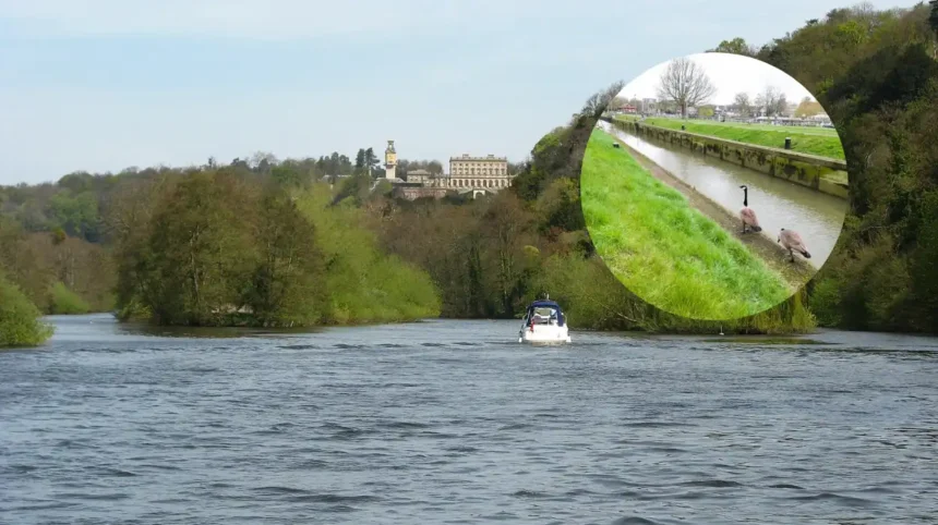
Key Points
- A flood alert has been issued for the Tidal Thames riverside from Putney Bridge to Teddington Weir.
- The Environment Agency has warned that high tides may lead to flooding in the area on 18 May 2026.
- Flooding is possible between 3:00 AM and 5:00 AM on 18 May 2026, with the forecast high tide at Richmond expected at 4.60m AOD at 4:00 AM.
- The alert covers riverside locations including Twickenham, St Margaret’s, Eel Pie Island, Strawberry Hill and East Teddington.
- Flood radar monitoring also lists nearby stretches around Richmond Bridge, Isleworth, and Teddington as affected by the same tidal conditions.
- The warning is linked to spring tides, which can push river levels higher and raise the chance of minor flooding.
Teddington(West London)May 18, 2026 – The Environment Agency has issued a flood alert for the Tidal Thames riverside from Putney Bridge to richmond-upon-thames/teddington/">Teddington Weir, warning that high tides could cause minor flooding in low-lying riverside locations.
As reported by the Environment Agency, flooding is possible from 3:00 AM to 5:00 AM on 18 May 2026, with the forecast high tide at Richmond expected at 4.60m AOD at 4:00 AM. The alert has been circulated in local flood coverage and warning services for the Twickenham and wider Thames corridor.
The warning applies to a broad section of the river where the tide can affect footpaths, embankments, and towpaths, particularly in areas close to the water. The affected stretch includes Twickenham, St Margaret’s, Eel Pie Island, Strawberry Hill, East Teddington, Richmond Bridge, and nearby tidal river sections.
Where Is the Alert?
The alert covers the Tidal Thames riverside from Putney Bridge to Teddington Weir. This is a tidal section of the river where water levels can rise quickly when spring tides combine with other conditions.
Local flood monitoring information shows several nearby stretches flagged under the same warning, including the River Thames from the River Crane to Teddington Weir, and the Tidal River Crane at Twickenham. The guidance for Twickenham notes that the main flood risks in the policy unit are residential and that tidal flooding is one of the main hazards in the area.
Why Has It Been Issued?
The alert has been issued because high tides are expected to increase river levels enough to cause brief, low-level flooding in vulnerable places. Flood warnings of this kind are typically used when flooding is possible but not guaranteed, so the message is intended to prepare residents and river users in advance.
The Environment Agency warning linked the risk to spring tides, which can lift water levels along the Thames. Local coverage also said the next high tide at this stretch was expected at 4:45 PM on Monday, with the potential to cause brief flooding.
Which Areas Could Be Affected?
The alert may affect riverside paths, embankments and low-lying land along the Thames corridor. Flood radar listings identify places including Twickenham, St Margaret’s, Eel Pie Island, Strawberry Hill and East Teddington, alongside stretches near Richmond Bridge and Teddington.
The Twickenham policy unit guidance says flood risk in the area can come from tidal flooding, river flooding, groundwater flooding and surface water flooding. That means even when the immediate warning is tidal, the wider area remains sensitive to more than one source of water-related disruption.
What Did Local Coverage Say?
Local reporting said the alert was announced for the Tidal Thames riverside from Putney Bridge to Teddington Weir and repeated the Environment Agency’s warning about the next high tide. The same coverage said the tide could result in brief low-level flooding in the affected stretch.
A separate flood monitoring service echoed the warning and listed the flood alert area in its live river-level update for Twickenham. Together, those reports indicate that the concern is centred on a tidal rise rather than a major river surge.
Background
The Thames tide has long been managed through flood alert systems because river levels in London’s tidal reaches can rise with predictable tidal patterns. The Environment Agency uses alert levels to warn the public before water reaches the point of serious flooding.
The Twickenham policy area begins at Teddington Lock, where the tidal Thames starts, and extends downstream, which is why this part of the river is regularly monitored for tidal risk. The official guidance also notes that many of the at-risk areas are residential, making early warning important for people living close to the riverside.
Prediction
For local residents, the main effect of this development is likely to be short-term disruption rather than widespread damage, especially in low-lying riverside areas. Footpaths, towpaths and access routes near the river may be temporarily affected during the highest tide window.
For businesses, commuters and leisure users along the Thames, the alert may mean checking river access before travel and avoiding affected embankments during the warned period. Because the alert is tied to tidal conditions, the impact should ease once the tide recedes, unless further warnings are issued.