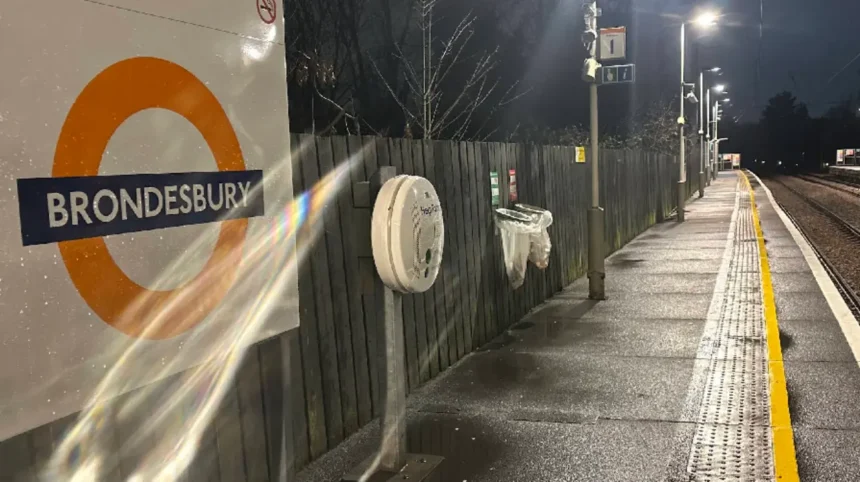
Brondesbury station stands on brent/kilburn/">Kilburn High Road within the London Borough of Brent, situated specifically in travel Zone 2. The facility serves as a vital transport hub on the North London Line of the London Overground network, providing direct travel links across northern and western parts of the capital. The physical infrastructure occupies a strategic position on the A5 road, which represents an ancient Roman transport corridor. This location places the facility directly between the residential districts of Kilburn, West Hampstead, and Queen’s Park. Pedestrians access the single entrance directly from the eastern side of Kilburn High Road via a street-level ticket hall.
- What Is the Historical Origin of Brondesbury Station?
- How Is the Infrastructure and Platform Layout Configured at the Facility?
- Which Train Services and Transit Connections Operate Through the Hub?
- What Strategic Impact Does the Station Have on the Brent Community?
- FAQs About Brondesbury Station
- Is Brondesbury Station fully step-free for passengers?
- How far is the walk between Brondesbury station and Kilburn Underground station?
- Which London transport fare zone does Brondesbury station fall under?
- Can I travel directly to Richmond and Stratford from this station?
- When did the station first open to the public in London?
The immediate surrounding area features dense commercial high streets, public bus stops, and local urban housing. Passenger access to the platforms requires navigating descending stairwells from the main booking office level. This structural design reflects nineteenth-century urban planning where railway tracks were subterranean relative to the primary street level. The station layout features two platforms that serve opposing directions of travel across London. Platform 1 handles westbound trains toward Richmond and Stratford via Willesden Junction, while Platform 2 manages eastbound services toward Stratford.
What Is the Historical Origin of Brondesbury Station?
The Hampstead Junction Railway officially opened Brondesbury station on 2 January 1860 under the original name of Edgeware Road. The line connected Camden Road with Willesden Junction to establish a vital orbital rail pathway across the northern suburbs of London. The station underwent multiple name changes to refine its geographical identity within the growing metropolitan area. The operators renamed the site Brondesbury (Edgware Road) in 1871 to avoid confusion with other London transport facilities. The final name simplification occurred on 1 May 1961 when the management removed the suffix entirely to create the modern title.
The London and North Western Railway assumed full operational control of the infrastructure during the late nineteenth century period. The company expanded passenger services and upgraded track assets to accommodate rising commuter volumes from suburban Brent. The physical architecture evolved from a basic timber structure into a robust brick-and-mortar station during this industrial expansion. The line survived the major railway consolidation of 1923 and the subsequent nationalization process that formed British Railways in 1948. The asset survived the mid-twentieth-century Beeching cuts that eliminated thousands of smaller regional railway stations across the United Kingdom.
How Is the Infrastructure and Platform Layout Configured at the Facility?
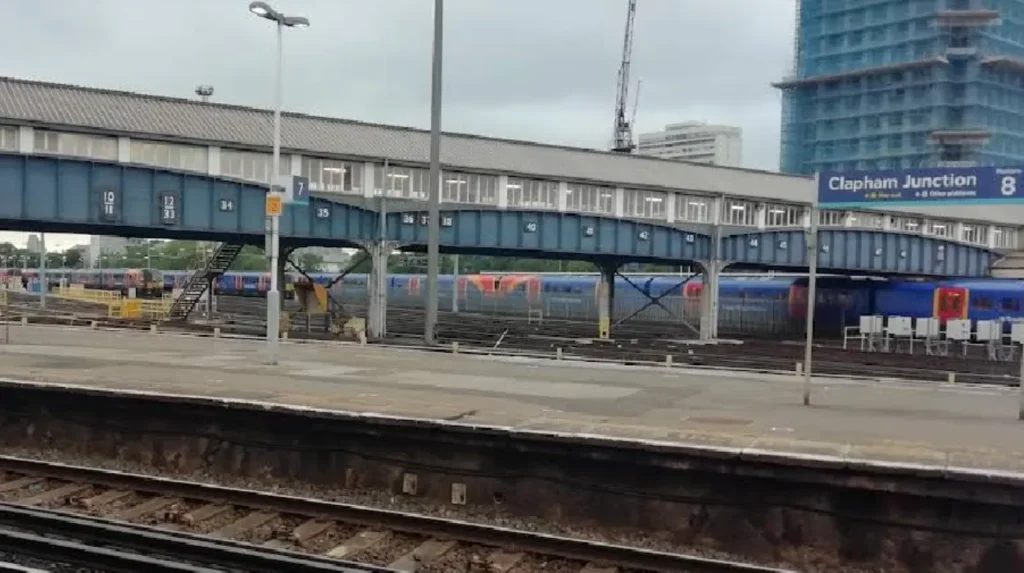
The facility features an open-air cutting design that positions two operational tracks below the surrounding street surface level. The station utilizes a two-platform configuration configured as standard side platforms positioned opposite one another across the dual-track line. The architectural blueprint relies on brick retaining walls to stabilize the steep earthen embankments surrounding the trackbed. Platform 1 accommodates passengers boarding westbound services traveling toward destinations including Richmond, Clapham Junction, and Willesden Junction.
Alex Marks
Platform 2 serves eastbound passengers traveling toward destinations including West Hampstead, Camden Road, Highbury & Islington, and Stratford. Each platform features metal and glass waiting shelters designed to protect passengers from adverse weather conditions. The platforms retain their historical length but have undergone surface treatments to comply with modern safety standards. Tactile paving lines the platform edges to assist visually impaired passengers during boarding procedures. The station lacks step-free access due to the historical staircase designs leading from the street-level booking office. The ticket hall contains automatic ticket barriers, Oyster card readers, and self-service ticket machines for passenger validation.
Which Train Services and Transit Connections Operate Through the Hub?
Transport for London operates all passenger rail services through the site under the corporate banner of the London Overground network. The station experiences high-frequency service intervals during peak weekday commuting hours to manage the large passenger volumes effectively. Standard off-peak service patterns consist of four trains per hour in each direction along the North London Line corridor. Eastbound trains run frequently toward Stratford via Highbury & Islington, opening access to east London commercial zones. Westbound trains split at Willesden Junction, with four trains per hour continuing toward Richmond or Clapham Junction.
Passengers can make an out-of-station interchange with the London Underground network by walking to nearby Kilburn station. Kilburn station sits approximately 200 meters north on the Jubilee line, providing direct access to central London locations. Local London Bus routes stop directly outside the entrance on Kilburn High Road to provide additional transport. These bus options include route 16, route 32, route 98, route 189, route 316, and night route N16. These road services link the railway facility to central hubs like Victoria, Marble Arch, and Edgware Road.
What Strategic Impact Does the Station Have on the Brent Community?
George Morina
The facility functions as a critical economic and social anchor for the southern portion of the London Borough of Brent. It provides thousands of residents with sustainable low-carbon transit access to employment districts in the City of London. The presence of the transit asset sustains property values within the residential neighborhoods of Brondesbury and Kilburn. Local retail businesses on Kilburn High Road depend on the foot traffic generated by daily commuters using the facility. The station reduces regional reliance on private automobiles, which lowers carbon emissions and mitigates traffic congestion on local roads.
Transport for London monitors passenger usage statistics to plan future infrastructure investments for the North London Line network. Annual passenger entry and exit figures regularly exceed two million journeys, confirming the high utilization of the asset. The station serves a highly diverse population, reflecting the multi-ethnic demographic profile of the surrounding urban borough. Future transport strategies highlight the site as a key asset for maintaining outer London economic development programs.
FAQs About Brondesbury Station
Is Brondesbury Station fully step-free for passengers?
Brondesbury station does not offer step-free access for passengers with mobility constraints or heavy luggage. Access from the street-level ticket office down to both platforms relies entirely on steep concrete staircases. Passengers requiring step-free access should use nearby West Hampstead station on the London Overground line instead.
How far is the walk between Brondesbury station and Kilburn Underground station?
The walking distance between the two transport facilities is approximately 200 meters along Kilburn High Road. The transfer requires walking north outside the Overground facility and crossing the street to reach the Jubilee line entrance. This connection functions as an official out-of-station interchange for Oyster and contactless card users.
Which London transport fare zone does Brondesbury station fall under?
The station sits within travel Zone 2 of the integrated Transport for London fare structure. Fares are calculated based on this designation when commuters travel to or from other regional stations. Passengers can use Oyster cards, contactless payment cards, or standard paper tickets to pass the barriers.
Can I travel directly to Richmond and Stratford from this station?
Direct train services operate from this location to both Richmond and Stratford via the North London Line. Westbound trains run to Richmond or Clapham Junction, while eastbound trains run directly through to Stratford. Service frequencies generally maintain a pattern of four trains per hour in each direction.
When did the station first open to the public in London?
The facility opened to the public on 2 January 1860 under the authority of the Hampstead Junction Railway. The site originally carried the name Edgeware Road before undergoing revisions to avoid urban transit confusion. The current simplified name was established in 1961 by British Railways management.